
 Yahoo Finance
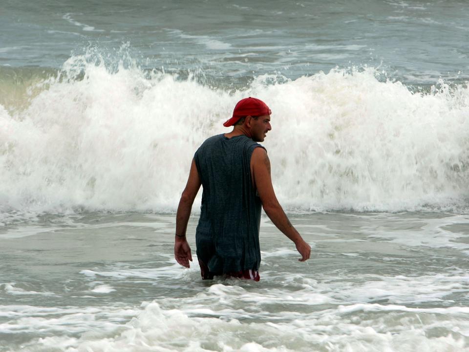
The first named tropical storm of the year is expected to hit the coast of South Carolina
Chris Hondros/Getty Images
(Reuters) - Tropical Storm Bonnie, the first of the year to threaten the United States, stalled in the Atlantic on Saturday but its center is expected to cross the South Carolina coast on Sunday night and Monday, National Hurricane Center said.
Bonnie, coming four days before the official start of the Atlantic hurricane season, triggered a tropical storm warning from South Carolina's Savannah River, near Hilton Head Island, and the Little River Inlet.
It was packing sustained winds of up to near 40 miles per hour (65 kph), with higher gusts, the center said at 8 p.m. EDT (0000 GMT) on its website. The center upgraded the system from a tropical depression on Saturday.
Tropical-storm-force winds, which extend out 70 miles (110 km) from Bonnie's center, were expected to first reach the coast on Saturday night or early Sunday, the center said.
Bonnie's center is forecast to cross the South Carolina coast Sunday night and Monday in a slow northward to northeastward motion, it added.
The system will bring heavy rainfall, life-threatening surf and rip currents to the Atlantic beaches during the long Memorial Day weekend, the unofficial start of the summer vacation season.
Tropical storms are cyclonic weather systems packing winds with sustained surface speeds ranging from 39 to 73 miles per hour (63 to 117 kilometers per hour).
The center of the system was about 135 miles (220 km) south-southeast of Charleston, South Carolina, the federal agency said.
The storm had moved little in the previous few hours but was expected to resume moving northwest at 9 mph (15 kph) during the evening, the center said. Its forward speed is expected to slow as it nears the coast.
The formation of Bonnie marks the second such weather system of 2016, following one that grew into Hurricane Alex in the far eastern Atlantic in January.
The weather system is expected to produce one to three inches (2.5 to 7.6 cm) of rainfall, with maximum totals of 5 inches (12.7 cm) from eastern South Carolina to southeastern North Carolina, the NHC added.
Tidal storm surge flooding of one to two feet (30 to 60 cm) above ground level is possible in the area, along with isolated tornadoes.
U.S. meteorologists have predicted an increase in the number of named storms this hurricane season after the number was below average during the past three years.
(Additional reporting by Alex Dobuzinskis in Los Angeles and Ian Simpson in Washington; Editing by Steve Orlofsky and W Simon)
NOW WATCH: This is a weather system in a box
See Also:
