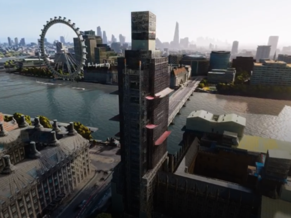
Major upgrade to Google Maps lets users fly like a drone through cities

Google has rolled out a major new upgrade to its hugely popular maps app that allows users to fly like a drone over cities.
The Immersive View feature for Google Maps launched for London, Los Angeles, New York, San Francisco and Tokyo, with plans to make it available for other global cities.
“Immersive View is an entirely new way to explore a place — letting you feel like you’re right there, even before you visit,” Chris Phillips, a general manager at Google, wrote in a blog post unveiling the update.
“Using advances in AI and computer vision, immersive view fuses billions of Street View and aerial images to create a rich, digital model of the world. And it layers helpful information on top like the weather, traffic, and how busy a place is.”
The new feature is currently only available on Android and iOS versions of the Google Maps app, with plans to introduce it to desktop users in the future.
The next cities to receive the Immersive View update for Google Maps will be Amsterdam, Dublin, Florence and Venice.
The idea is to allow users to plan trips by offering them a new way to locate the entrances to buildings, figure out where to park, and see how busy areas get at certain times of the day.
Google is also introducing new augmented reality (AR) features to Maps through a tool called Live View. More than 1,000 airports, train stations and malls will be added to the navigation feature, which uses AR-powered arrows to point a user in the right direction.
The AR updates come amid a major focus on the technology from rivals Apple, who have made immersive exploration a big part of its latest Apple Maps app.

 Yahoo Finance